A one-person lab in Hong Kong turning geospatial intelligence into working AI agents. Enterprise GIS by day; agents and digital twins after hours.
A passionate geospatial professional exploring what agentic AI can do with spatial data — building agents, digital twins, and machines that see the world spatially. One-person lab, big curiosity, and a lot of momentum. Holding a BSSc (Hons) in Geography, with advanced GIS training in Canada — now putting enterprise GIS and spatial data to work in Hong Kong.
Hermes agent stack · ArcGIS GIS Agent
Tailor-made agents for your business logic and workflows — data engineering, sales & outbound, back-office admin and operations. Built around how you actually work.
DeployCustom applications built around AI agents — interfaces, APIs, and workflows that turn agent power into a product your team actually uses.
Build
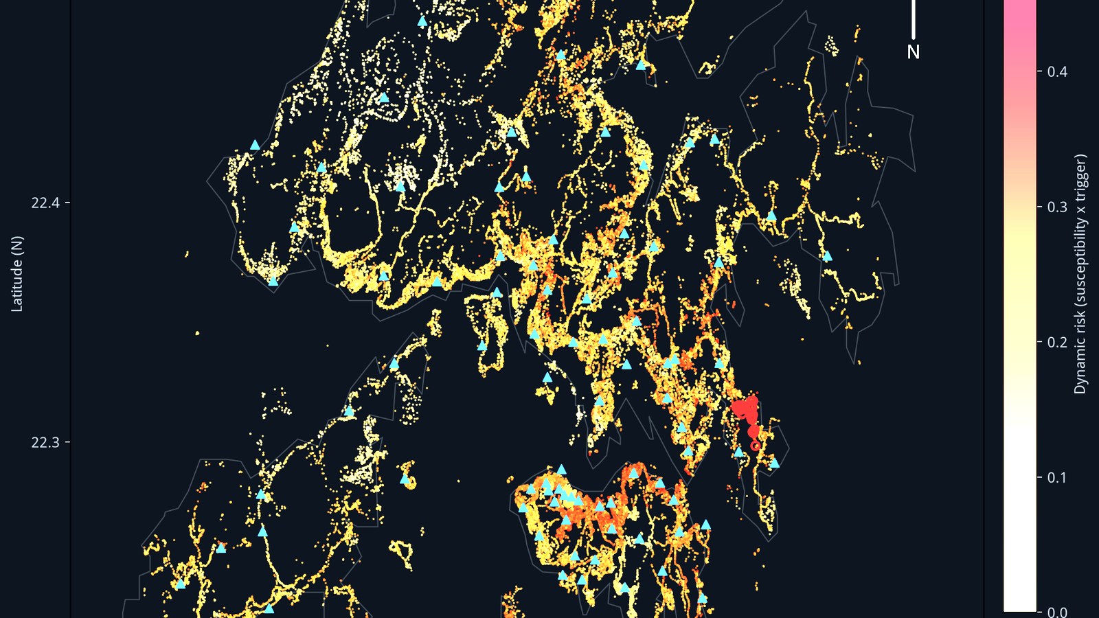
Slope risk model · Hong Kong
Processing services for imagery, point clouds, and spatial data — trained and run on cloud GPUs when the job demands real compute.
Compute
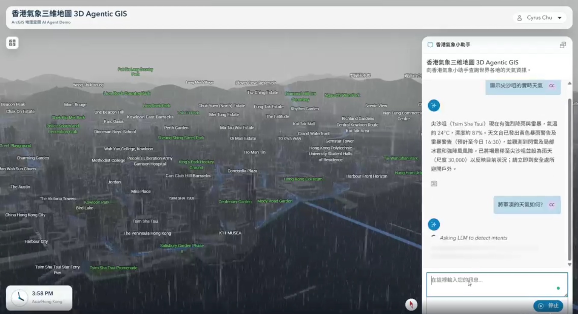
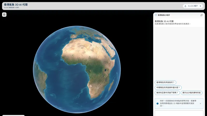
3D Agentic GIS · HK weather agent
Living digital twins with IoT integration, real-time dashboards, and 3D mapping — places that think, not just pictures of places.
Live
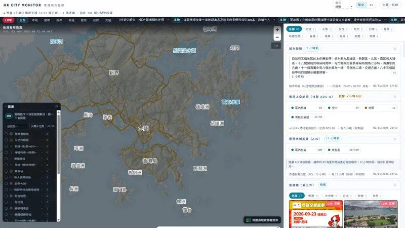
Hong Kong real-time indicators on one screen. Every number traces back to an official open dataset.
Live · open data
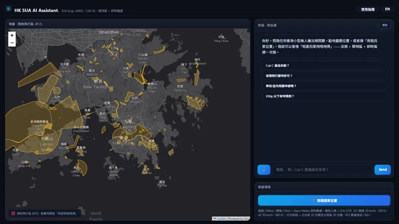
Ask about Hong Kong drone rules: restricted flying zones, weather, and the regulations themselves, answered from official documents.
Live · retrieval + LLM
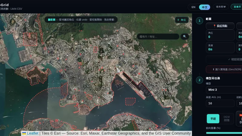
Draw a polygon, set an overlap percentage, get a Litchi waypoint CSV ready to fly.
Live · drone ops
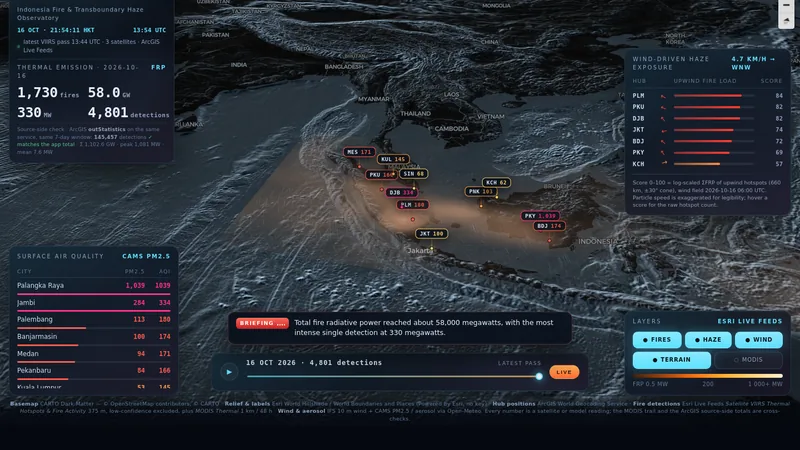
Indonesia fire and haze, live from satellite hotspots, with an air-quality readout for each city downwind.
Live · remote sensing
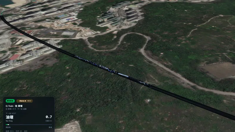
Kwun Tong Line trains moving in real time on a 3D-tilted map, with an AI agent that answers "which train am I on" from live positions.
Live · simulated feed
An agentic GIS globe that answers weather questions by flying to the district instead of printing a table.
Live · 3D agentic GIS
A rebuild of the classic Hong Kong online games hub — browser games, no install, no accounts.
Live · community archive
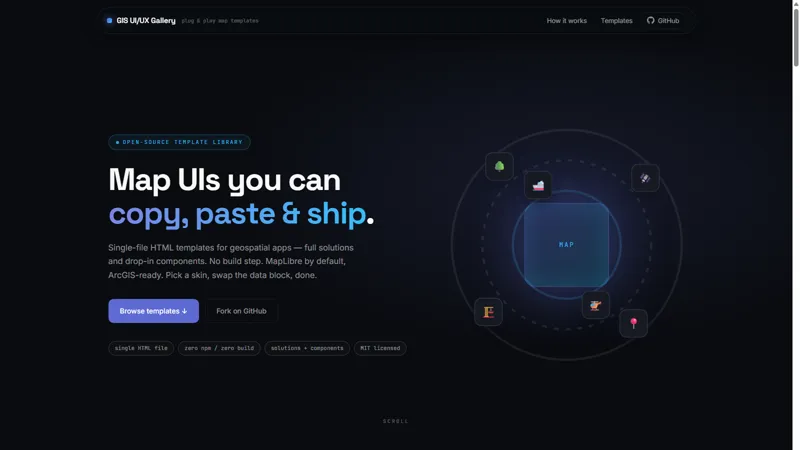
Plug-and-play map app templates: pick a layout, read the source, copy it into your own project.
Live · open sourceAnyone can use AI to do something — vibe coding, automation. But domain knowledge and infrastructure take time to accumulate and set up. That's the part I bring.
Most agents are trained to be helpful. Mine are trained to be spatial — coordinate systems, data pipelines, analysis. It arrives knowing your domain, not learning it from your prompts.
GIS nativeAlways-on, secure cloud infrastructure — and top-tier GPU on demand when the job needs real compute. Your data stays protected, your agents stay up.
Secure · ScalableEvery engagement starts with a consultation — we figure out what you actually need before any agent is built. Then I keep watching it. Not a dashboard with nobody on call.
Consultation-firstNot sure where an agent fits? Start with a free consultation.
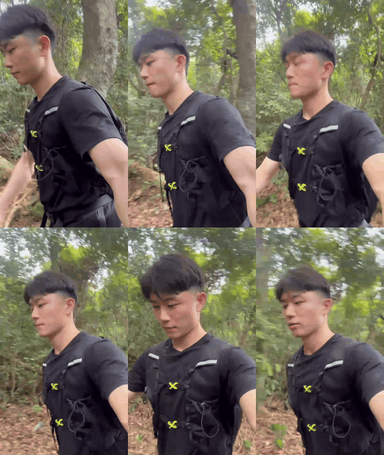
Away from the screen, I love to move — currently training toward my first ultramarathon (100 km), with marathon miles and HYROX behind me, and trail running whenever the city runs out. The same discipline carries into my work — show up, do the reps, measure the progress.
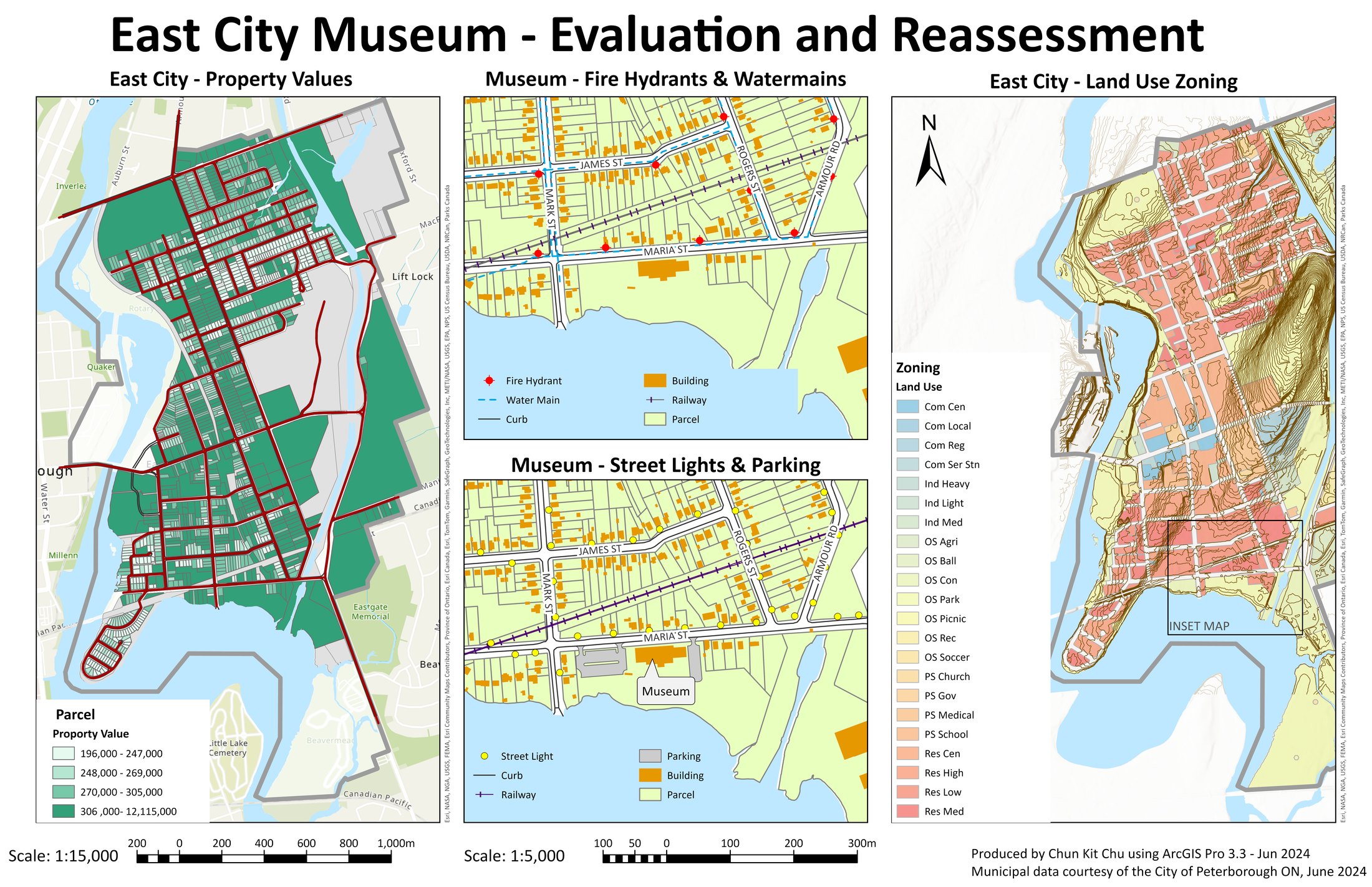
East City Museum · ArcGIS Pro
Cartographic craft — layout, hierarchy, legend design.
2D / 3D maps, dashboards, and interactive scenes.
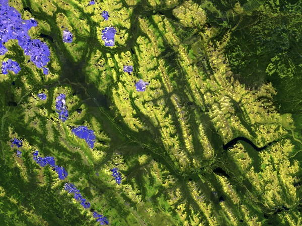
Banff · Sentinel-2 NDVI
Satellite imagery, orthophotos, spectral analysis.
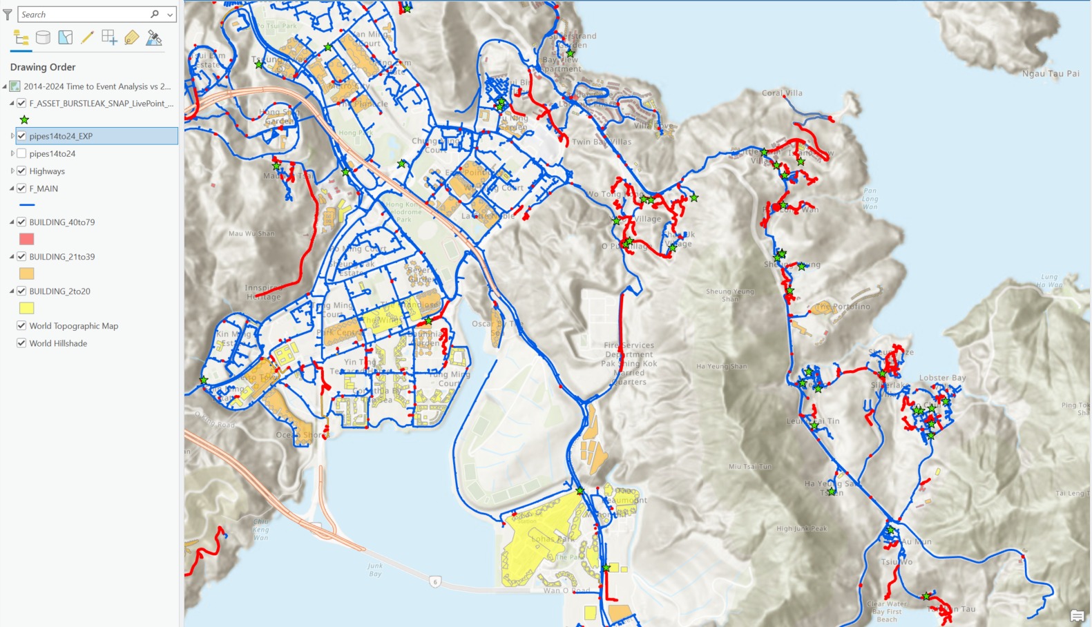
Pipe burst-leak analysis
Overlay, proximity, network, and terrain modelling.